
Your cart is currently empty!


Custom 3D Contour Map of Your Property – Laser Cut and Laser Engraved
$650.00
Custom 3D Contour Map of Your Property – Laser Cut and Laser Engraved.
Description
Custom 3D Contour Map of Your Property – Laser Cut and Laser Engraved.
With your address we can product a custom 3D contour map of your property. We choose the contour layers based on the change in elevation of your property. For example the photos show our 40 acre ranch property and each layer is 10 feet of elevation change. We take the parcel data from your local government GIS information. We take the building and road locations from the latest Google Earth and Google Maps data. Once these three sources of information are overlaid we then take the data and create a cut sheet which is composed of each elevation layer. We use our CO2 laser to engrave and then cut the layers. All of the layers are then glued and clamped together.
We can make the 3D map any size, typically we aim to use an entire sheet of 4’x8′ plywood. The example seen in the photos of this product used an entire sheet of plywood and the final product was roughly 20″x20″.
The price of this item includes gathering all of the available data for your property, overlying the data, slicing the layers, creating a design, laser engraving, laser cutting, gluing and clamping the layers and shipping the 3D map to your shipping address. It’s quite a bit of work but a lot of fun to produce.
Free shipping.
Additional information
| Weight | 10 lbs |
|---|
Related products
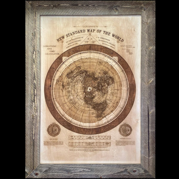
Gleason’s 1892 Wooden Flat Earth World Map – Laser Engraved – Barn Wood Frame
$590.00 – $790.00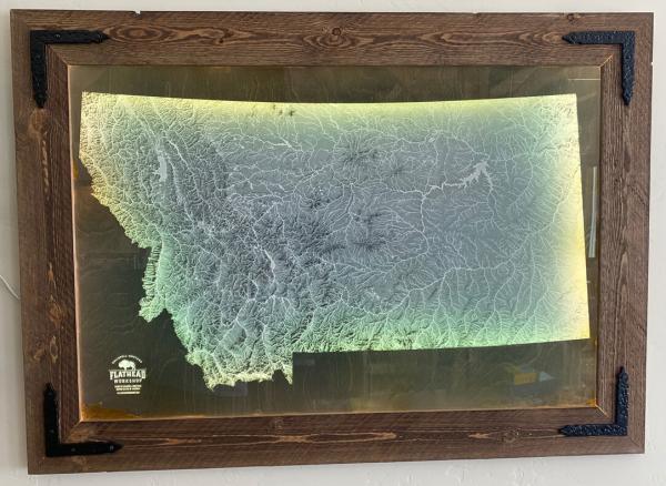
Illuminated Montana Hydrology Map – All Lakes and Rivers of Montana – Laser Engraved – Barn Wood Frame
$795.00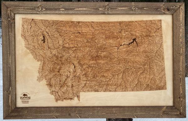
Montana Hydrology Map – Lakes and Rivers – Barn Wood Frame
$350.00 – $695.00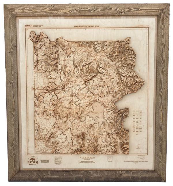
3D Yellowstone National Park Topographical Map – Barn Wood Frame – Extra Large 49″ x 54″
$2,500.00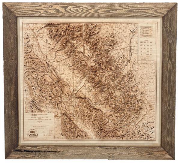
3D Glacier National Park Topographical Map – Barn Wood Frame – Large 43″ x 39″
$2,400.00
Reviews
There are no reviews yet.